Thursday, August 24, 2006

August 24, 2006 Nomini Bay, VA, South Shore of the Potomac River


This is a catch up entry as the blog was having technical difficulties the last couple of days and I gave up trying to upload pictures. I wish I could make the text match the pictures but the site changes them around so it sometimes looks a bit weird.


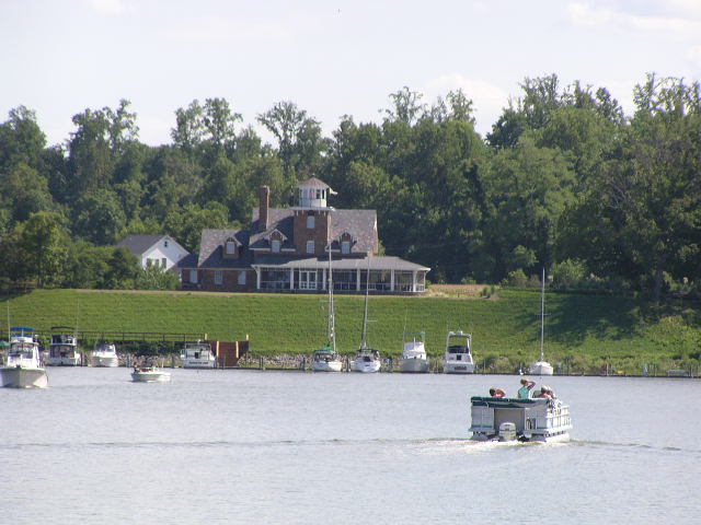
As the last entry described we had a long day down the Potomac because we were anxious to move to the Chesapeake. We pulled into what the books describe as a beautiful little bay still on the Potomac but close to the mouth of the Chesapeake, and they were right. We've included some pictures of the cool little town surrounding Nomini Bay, Virgina (pronounced NO-mini).

In fact, you may not be aware, but the entire Potomac River belongs to the state of Maryland ... the state boundary line hugs the south shore of the Potomac (which is VA), so all those folks in VA with little beachfronts, step into Maryland every time they touch the water.
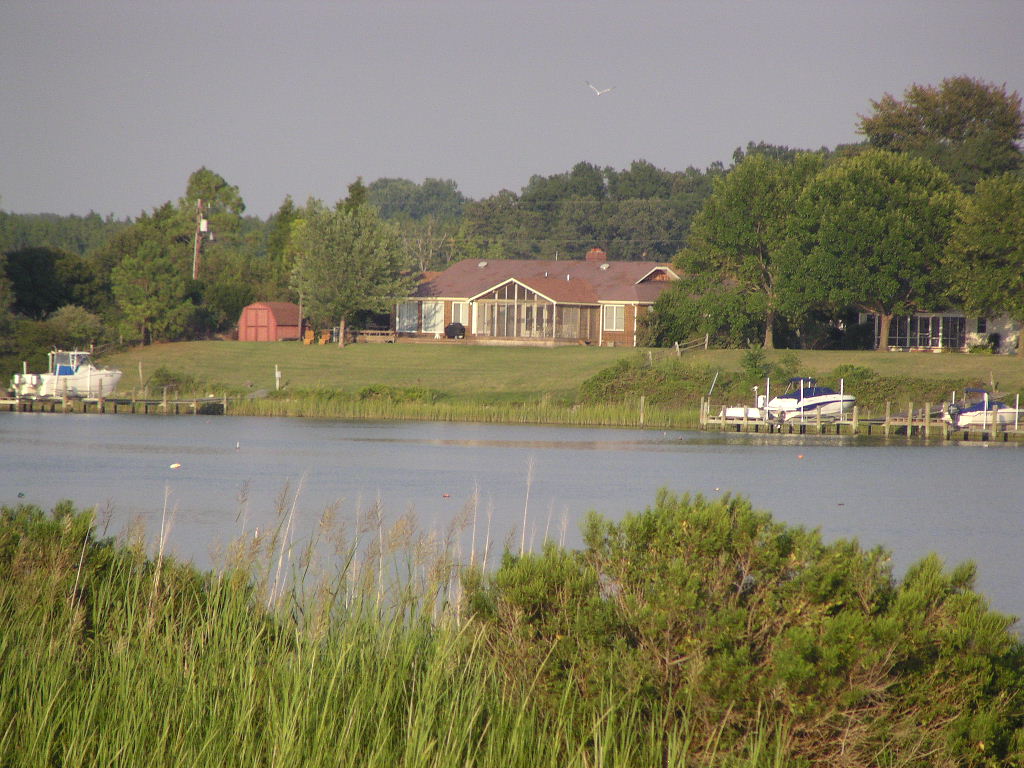
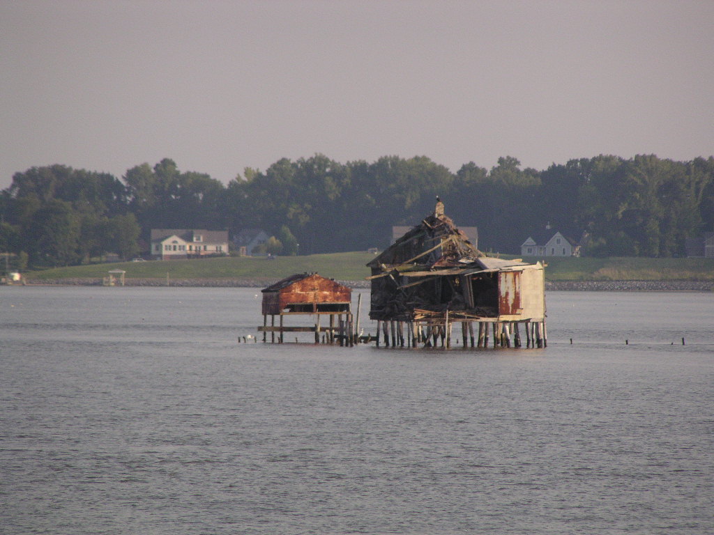
This one is of an abandoned duck blind (we think).

The entry channel to Nomini was really narrow, with lots of crab pots just outside. We entered on mid-tide and picked our way into the bay-proper in 8 feet of water. When we got inside, we found a generally circular bay with a meandering channel to get you up-river another 5 miles, if needed. The thing that we noticed the most is the continued pattern of crab pots ... everywhere.

So, some of you may be saying ..."so what about these crab pots." Boaters quickly learn that crab pots are truely their enemy. You see, a crab pot consists of a somewhat cubical wire basket attached to a rope line or worse, a wire, which in turn is connected to the colorful little styrofoam float which you see on the surface. They used to be wood, and I've got an old one from Maine, but now-a-days they're all styrofoam. Anyway, if you happen to be the unfortunate boater that runs over one these little gems, likely it is that you will wrap the float around your prop, which of course then rapidly propels the wire mesh crab trap onto your hull, which then causes your engine to overheat ... and yep, you're quickly dead in the water. So, boaters are always wary of crab pots. End of crab pot 101.

So, having picked our way into the bay, we finally found a circular spot about 300 feet wide to drop the hook into. In 10 feet of water we generally deploy about 125 feet of chain between the anchor and bow pulpit. This usually sets us pretty good, and we can swing in a circle about 150 feet in diameter as the tide shifts. Most of the chain lays on the bottom and acts kinda like a bungee cord.


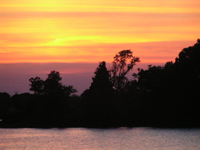
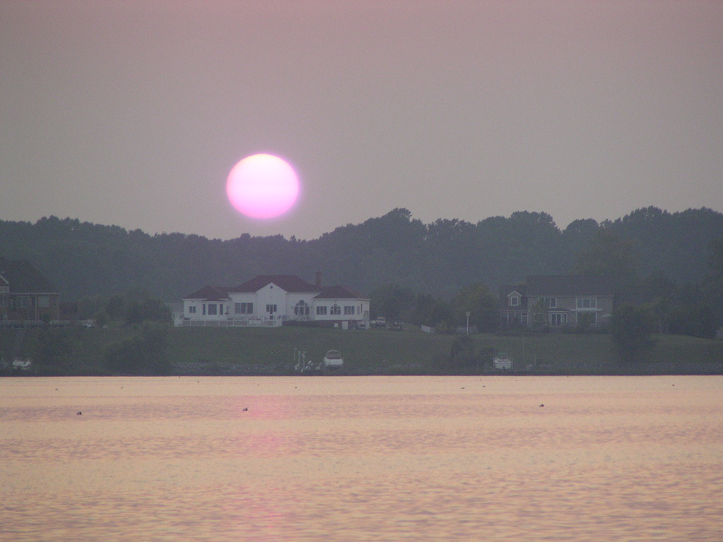
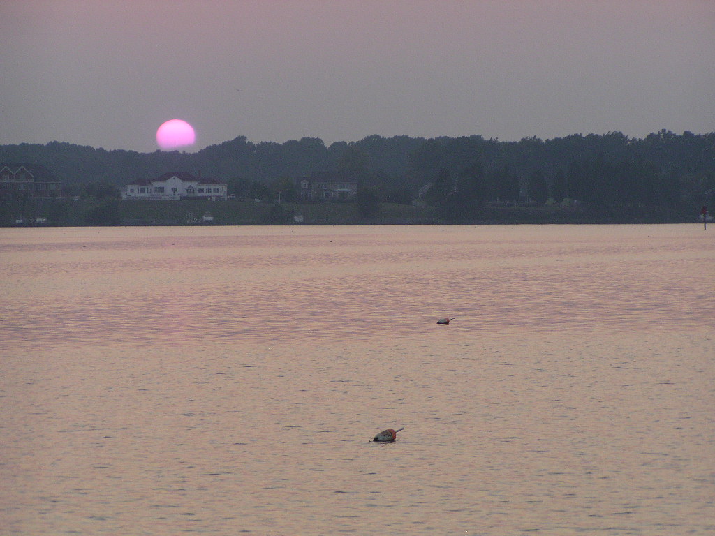
Since we were late arriving (...about 7:15...) it wasn't long before the sun went down behind the house across the water from us, and we were treated to the following views ... although my camera can't seem to capture the red of the sun properly.
August 23, 2006 Washington, DC to lower Potomac River

Not to worry, we haven’t fallen into the Potomac River! We docked Rickshaw at the Gangplank Marina in downtown Washington, DC for a week while we visited family and friends. Both of us grew up here. Rick’s family has moved to New England but I was able to see my Dad and Evelyn and two of my brothers and their families. It has been some time since I’ve been ‘home’ so it was great to see everyone and catch up with their busy lives. Dad treated Rick and I to dinner then the whole gang to lunch. We also got to see our good friends, Stacey and Geof , and enjoyed their hospitality.
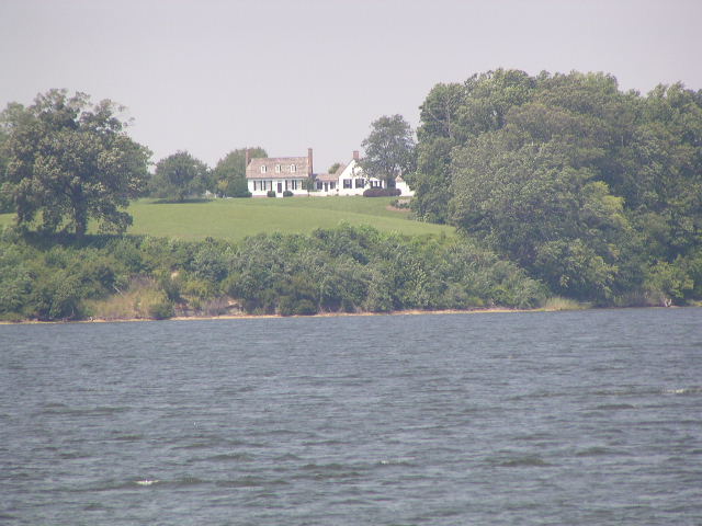
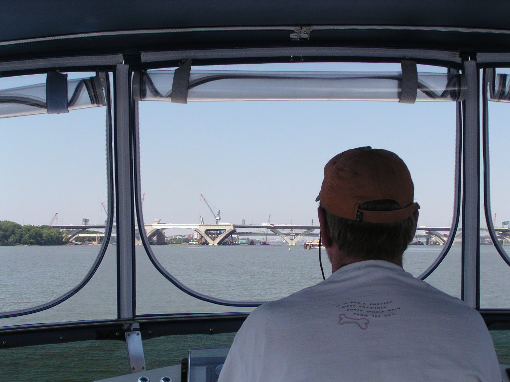
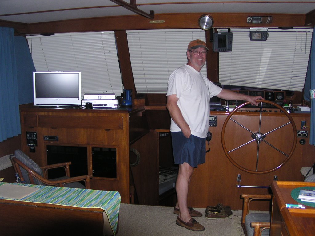
We left DC Wednesday morning to go back down the Potomac River to the Chesapeake Bay. It turns out that this was our longest day on the water yet, 10 hours. It was a nice day but hot and not alot of breeze. It felt too much like work! Here is Rick working...

...and Captain Rick after a very long, hot day!


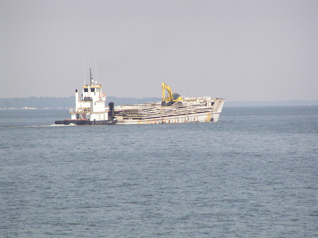
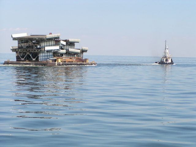
This barge was taking old pieces of a bridge out to make an artificial reef.


Above is just a view from the back of the boat. The green bouy apparently is a favorite hang out for cormorants.

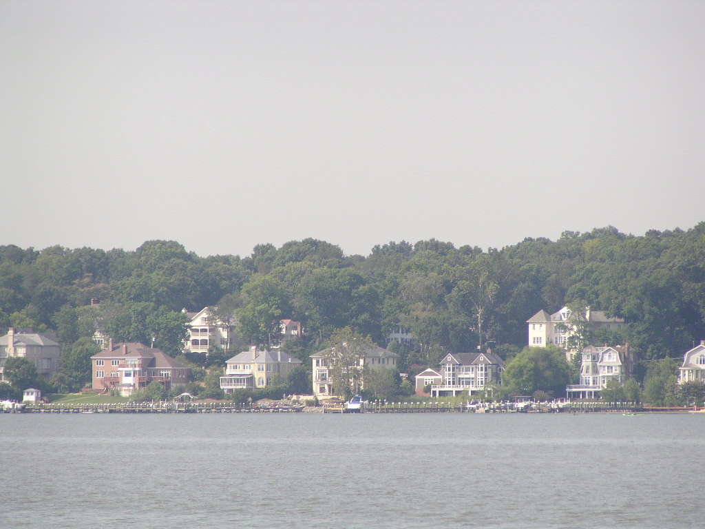
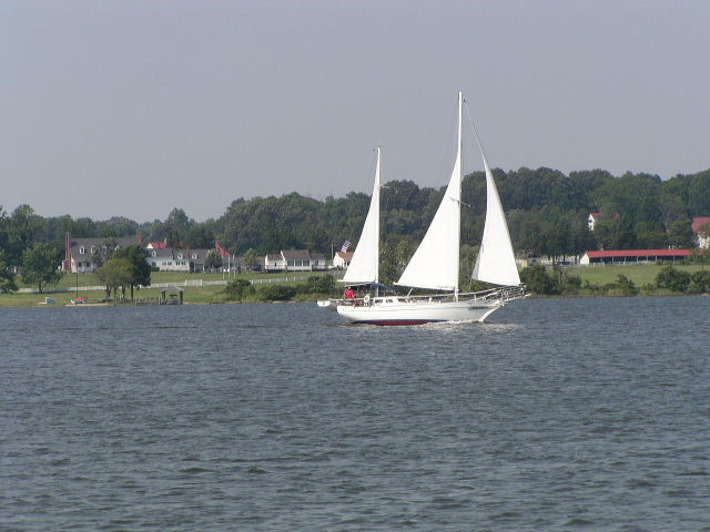
These next pictures show a couple of the towns along the Potomac River. Most don't have homes of the size in the last blog. It looks like a lovely place to have a home on the water.


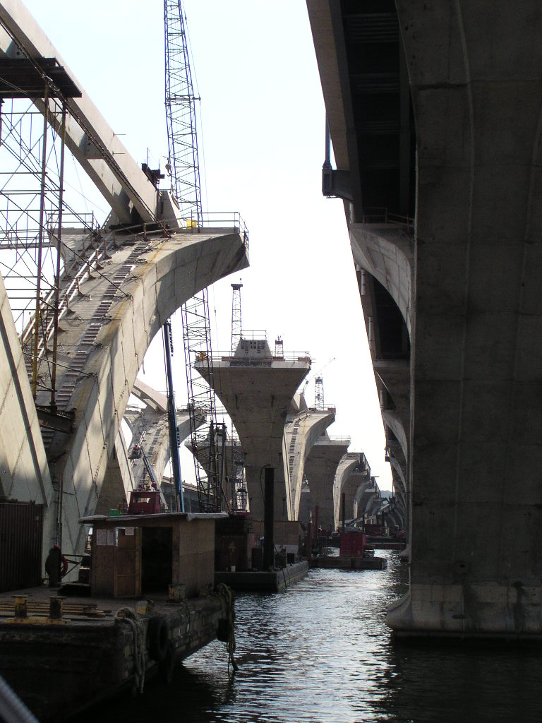
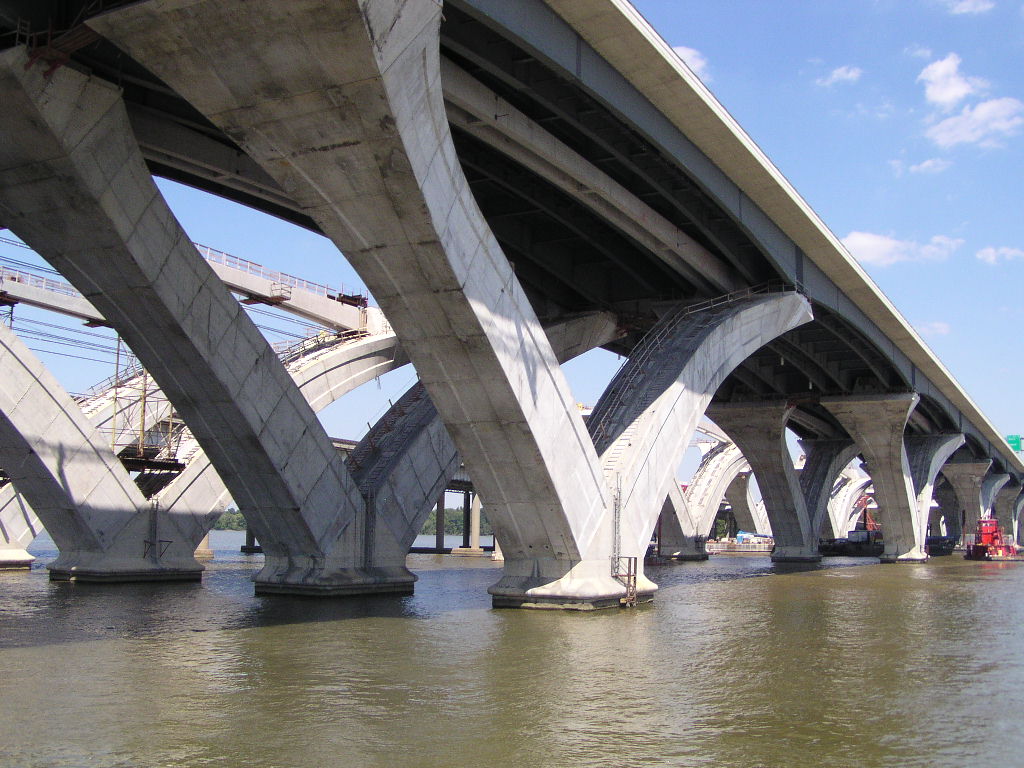
We were so fascinated by the new Woodrow Wilson bridge being constructed between MD and VA that we had to take a few more shots as we went under it leaving DC. The first shows the old bridge with the new bridge in the foreground. Only one span of the two new spans on the new bridge is open. The second picture shows the new span without the road!


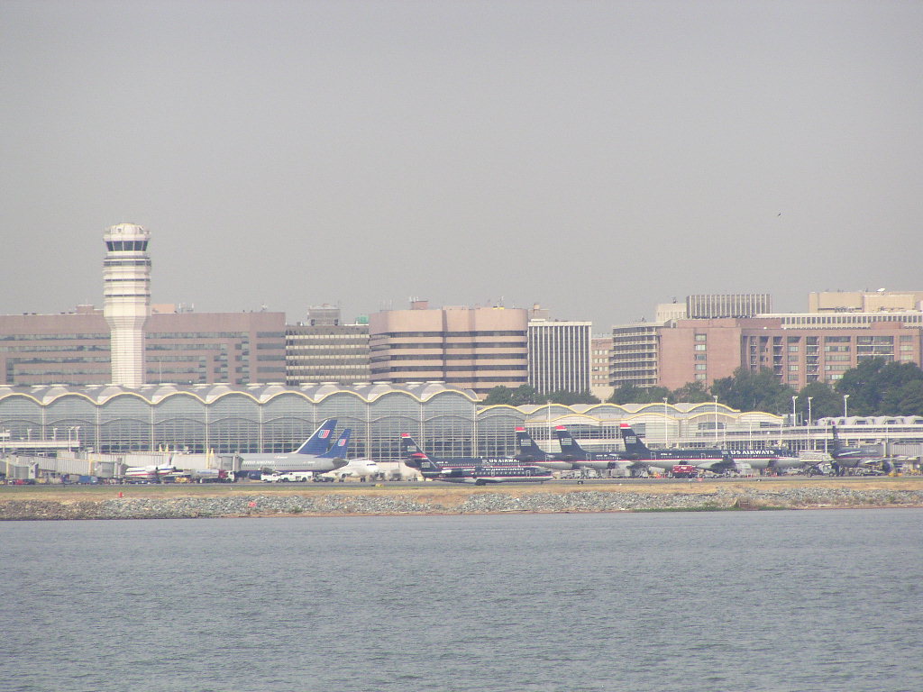
We took one last picture of National Airport as we passed by on the way out.

The Gangplank Marina is located on Maine Avenue in DC which is where most of the fish and crabs are bought and sold to individuals and restaurants in the city and surrounding areas.

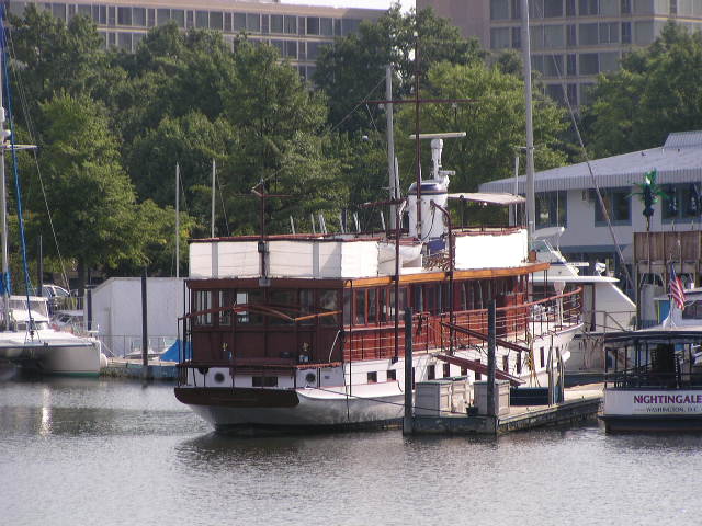
The old Presidential yacht, the USS Sequoia, is anchored here. It is now privately owned and used for parties and weddings.

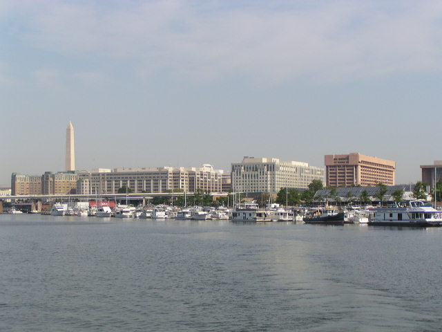
This is a view of the Gangplank Marina as we were leaving. We sat on the bow of the boat each night and watched the lights of the Washington Monument. It was a great place to be.

Friday, August 18, 2006

August 18, 2006 Washington, DC (Part 1 of 2)

It is now Friday evening. We arrived in Washington, DC on Wednesday. We’ve been looking forward to this for some time as we are both from this area and it was great to come into DC from the water.

It was a long but beautiful trip up the Potomac River, our longest yet, a little over 8 hours. We had to check in with the Dahlgren Naval Surface Weapons Test Range as we left Colonial Beach to see if the river was ‘hot’, and it was. We were directed to hug the Maryland side and ran without any problems.

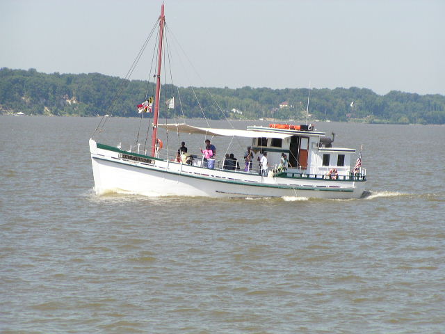
We don't have a lot of narrative but thought you'd enjoy some of the views as we went up the river. Here is a restored Chesapeake Bay 'Buy' boat which is an old wooden boat that used to buy seafood from the boats on the bay and take it back to shore.

The south part of the river had lots of little communities with lovely views. We enjoyed watching them as we cruised by them.


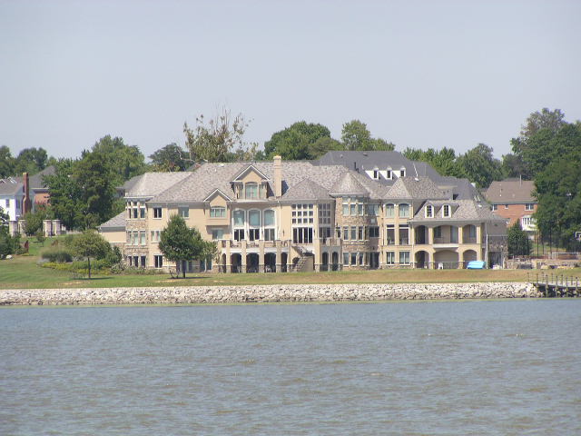
That changed quickly, however as we got closer to Mt. Vernon, on both the Virginia and Maryland sides. This is a small but quaint home on the Maryland side of the river, and the picture below is the first of the amazing homes we captured.

(Part 2 continues with more pictures)

August 18, 2006 Washington, DC (Part 2 of 2)

This was the biggest we saw. It reminded us of a European chateau! It sits about 1/2 mile south of Mount Vernon.


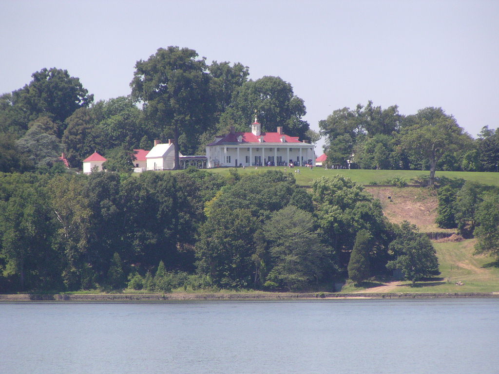
Mt. Vernon, George Washington's plantation, is a beautiful site. We could have taken Rickshaw in to their dock to tour the home but we were tired! Maybe on the way back.


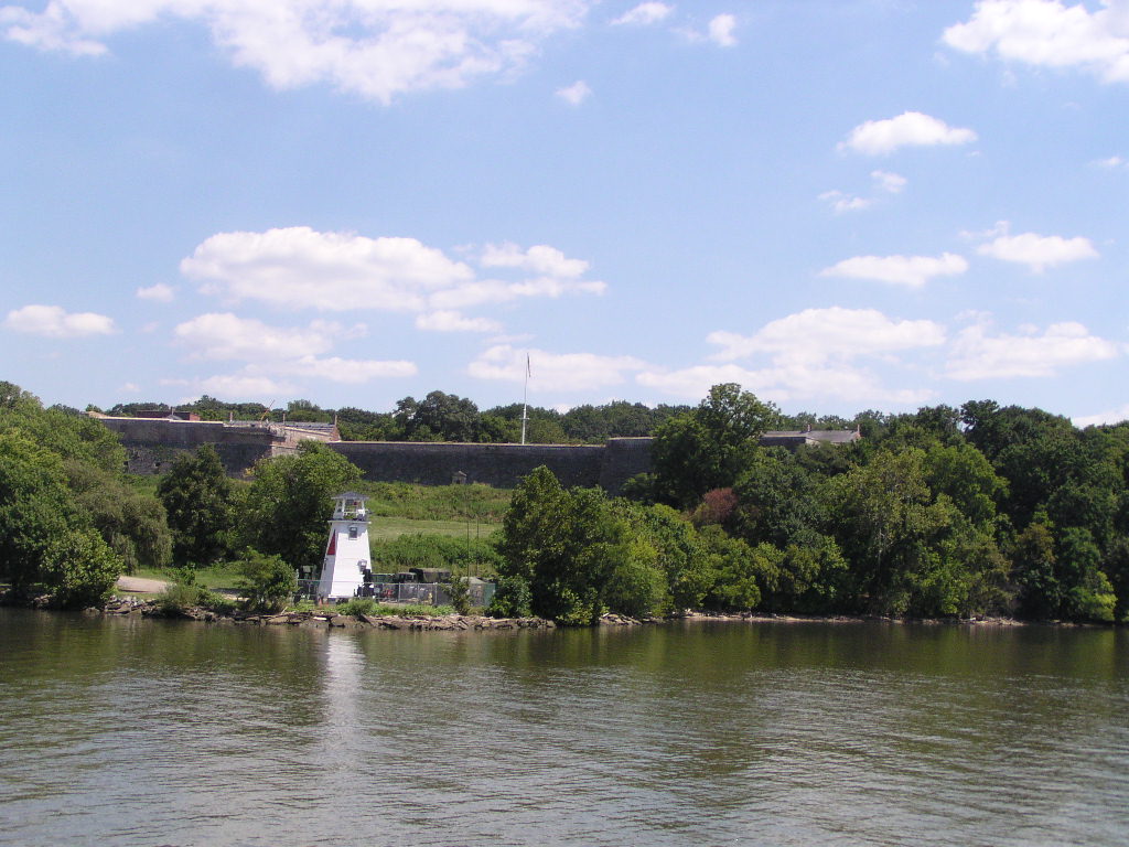
This is Fort Washington. It was the only fort defending Washington for many decades (we read the book!)

The most exciting part of the trip was getting ready to go under the new Woodrow Wilson bridge which connects VA to MD via Route 95 over the river. This is a huge project that has been going on for several years and we were a tad nervous about it. We did our homework and read the updates on the web but were still confused as to which span to go under.


We thought we had it figured out when a red tug turned parallel to the bridge where we thought we were supposed to be!

Turns out we just had to wait for the tug to move the crane and then we had room to pass. We had a high five after that one. Following are a few pictures of the new bridge. The one with the orange pillings is a form where the new bridge will be poured. It was amazing to see it from this angle as the massiveness of it is so apparent.


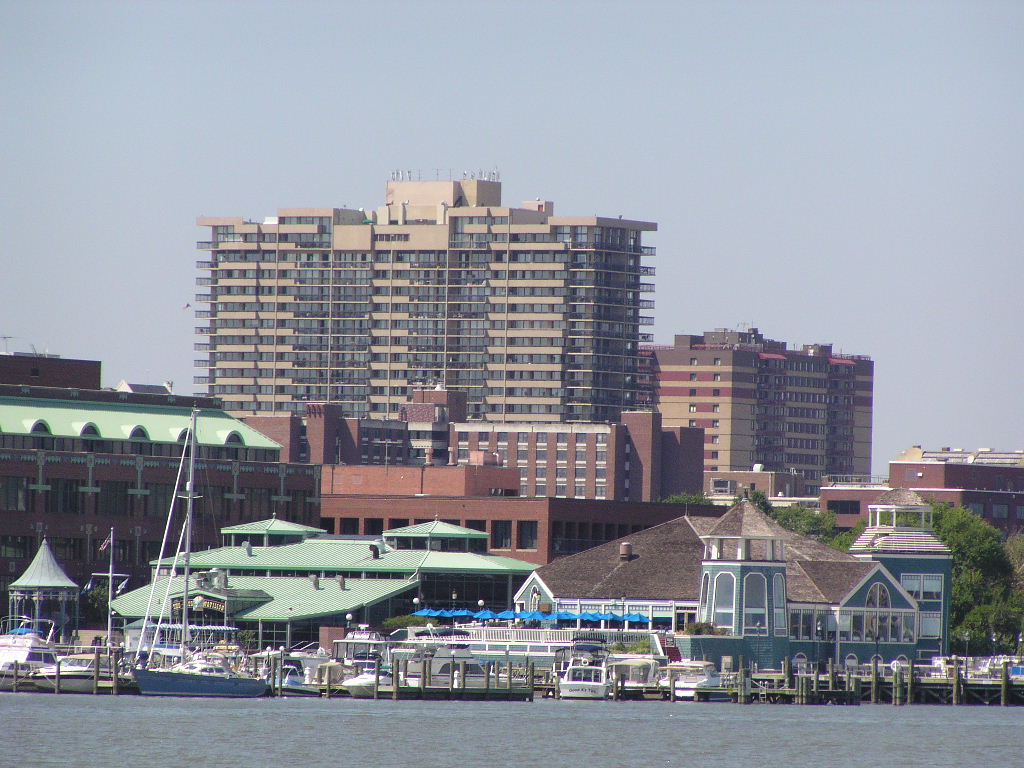
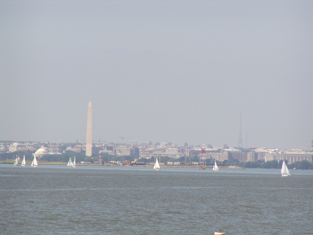
This is the Alexandria waterfront. Below is a cool picture as I've never seen sailboats 'in front' of the Washington Monument.


Just thought this was a cool picture of the Navy Research Lab.

As we approached DC, National Airport was on the left and planes were coming in over our bow. It was an interesting sight.

We are close to home now!
This is a shot of us coming into the Gangplank Marina in downtown DC where we will be for the next week. Can't wait for tomorrow as we will have 10 family members over to see the boat and go to lunch. Then we will spend the weekend with our good friends. Nice to be home to visit.

Tuesday, August 15, 2006

August 15, 2006 Colonial Beach, VA

We left beautiful St. Mary’s River this morning. It was overcast and breezy with 15 knot winds as we entered the Potomac on our way up the river to DC. We had planned a stop in Colonial Beach, VA since it is a 2 day trip to DC from here (in our go slow boat!).

The cruising guides notified us that we would be traveling through a restricted zone. (Vicki and Norm, we LOVE the cruising guide!) That is because we would be going right through Dahlgren Naval Surface Weapons test range! We were told to radio ahead to see if it was a ‘cold’ or ‘hot’ day. On hot days there are live test firings on the range. The range patrol advised us that it was ‘hot’ today and that we had to stay south of the range. It was really something to hear the booming in the distance of the testing. The restricted zone we had entered before we got to this zone was for strafing and bombing. We were glad it was ‘cold’!!


We weren't sure what this tug was towing but it looked like pieces of a bridge. Very strange to see going down the waterway.


Rick is carefully watching where this tanker is going since they always have the right of way, whether they are right or not! We are so small in comparison.

It was a nice but uneventful 5 hour trip to Colonial Beach. We had hoped to anchor out but the water was too shallow so we ended up in a marina. Just as we were docking, a huge rainstorm broke out, so all our books and charts were getting soaked, at the same time we heard a new alarm in the boat going off that we hadn’t heard before, we couldn’t get power to the boat and we started dripping diesel fuel from the aft tank vent. Just another day on the water. We hitched a ride into town with the marina staff to a great Chinese restaurant and walked 2+ miles back to the marina. On the way passed a small ice cream kiosk and just had to sample their old fashioned A&W Root Beer Float! We leave in the morning for the 65 mile (8+ hours) to DC.

Monday, August 14, 2006

August 14, 2006 St. Mary's River, MD

The last two days have been two of the most beautiful days yet. Below is the Smith Point Lighthouse where yesterday we started our turn westward into the Potomac River.


We stayed at a small marina because we needed to fuel up (don't ask!). The sunset was wonderful. We also included a picture of the marina; absolutely no frills, but they had a reasonable diesel fuel price.


We left Smith Creek around noon today, after two hours of fueling with slow pumps, to go back into the Potomac River then up the St. Mary's River.

St. Mary's Ciy, along the river, is where the first capital of Maryland was established. We can understand why they picked it. The shoreline is astonishing with high banks and large homes and farms overlooking the river. St. Mary’s College, a small college, is right on the water.

We didn't stop but continued up the river and anchored near Tippity Wichity (really) island. It is very quiet and simply beautiful here.


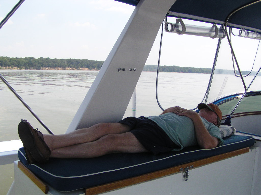
We have been so lucky with the weather, well, except that one day where everything went downhill. We’ve had light winds to keep the bugs away and sunny days. Hope it lasts! After an exhausting day, Rick had to sit back and close his eyes for a few minutes...the stress you know ... !

Saturday, August 12, 2006

August 12, 2006 - Urbanna, Virginia

Hi everyone. This is Rick on the blog. Lynnie indicated in her last posting that we’d had an exciting day on the water. Well, that about sums it up. You know, some things are learned easily, and others require a trial by fire.

We spent the night of August 9th at anchor in the East River off Mobjack Bay, VA. We awoke to a very overcast sky, and it began to drizzle. NOAA weather indicated it wouldn’t amount to much, and the seas would be calm, so we headed out, bound for Gwynn Island about 25 miles north with mild precipitation showing on the radar.

We’d just rounded New Point Comfort lighthouse and started heading north with a slow rain, in 25 – 30 feet of water. About 3 miles offshore, the port engine began to lose RPM, and everything seemed to point to a clogged primary fuel filter. So … Rick decided we had better switch over to the backup primary filter, and headed into the engine room to execute this “simple” procedure.

To make a long story short … in a matter of a few minutes our ‘first’ worst nightmare unfolded. The fuel filter swap process wasn’t at all what I’d learned in diesel school. I got it all undone, and the new one installed, but for some reason, could not fill the filter housing with fuel from the normal supply line. Bottom line … in very short order both engines got an air lock and shut down cold … we were adrift, now in heavy rain with reduced visibility! We’d been dodging crab pots all the way out into open water, and began to drift back toward Mobjack.

We were in no immediate danger and could always drop anchor and call TowBoatUS to come get us. So, I took a deep breath, and began to try to figure it all out. Luckily we had cell phone coverage, and a quick call to my good friend and mechanic, Roger Brake, helped to ease the fear factor. He gave me a few simple things to diagnose, and in about an hour I was able to restart the port engine by bleeding the air out of the injector fuel line. The starboard engine also cranked up with a few coughs, and we again had normal RPM.

We breathed a very big sigh of relief, high-fived, opened a beer, and headed north once again. We decided to bypass Gwynn Island and go on into Urbanna, VA on the Rappahannock River, about a 44 mile day. That turned out to be a good decision, as it is a really neat place. It is an historic port town and the ‘downtown’ area is wonderful. Today we wandered through the farmers market and stopped in at the Urbanna Republic store and bought some new clothes.

Yesterday, we spent doing chores. Lynnie did laundry, washed the boat, and Rick spent most of the day doing a 100 hour engine service. We’ve met some fun people, had some good meals in town, and tomorrow will head up to Smith Creek, just inside the mouth of the Potomac River.
So, our first encounter with fear turned out to be a very good teacher, and we’ve both learned a lot about ourselves, the boat, and dealing with the unknown. And I will never make that same mistake again! So far we have logged 380 nautical miles since leaving Morehead City, NC.

Scenes from the back of the boat in Urbanna.


August 11, 2006 Urbanna, VA

We have had an exciting few days on the water and Rick will be updating the blog about that. In the meantime, we have been asked what the boat looks like. It is such a great boat and we are really comfortable.

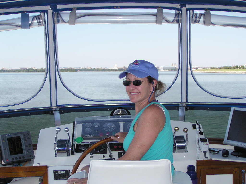
We spend most of our time on the upper helm when we are under way. To the right of the captain's chair you see a PC display. It is connected to Rick's PC in the lower helm station and runs our navigation software. There is a freezer on the left side, OK port side for you mariners, which holds a ton of food!

Here is Captain Rick at the lower helm station. We don't usually run the boat from here unless the weather is really bad or if we are in Georgia and the black flies are attacking!

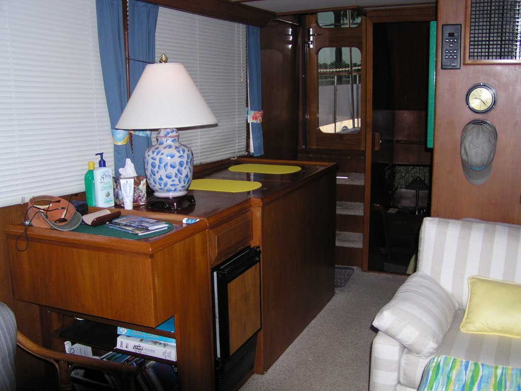
This is the salon with the galley in the background. The sofa is a fold-out double bed so plenty of room for guests. The yellow placemats are on top of the cold plate refrigerator which also holds lots of food. The ice maker is below the lamp.


The master stateroom has a full size queen bed. Lots of hanging space and drawers. We were surprised that we could fit all of our 'stuff' into it. The head includes a nice shower. There is also a combo washer/dryer.

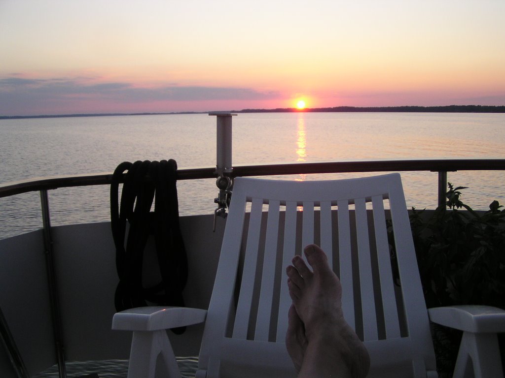
The aft deck is where we hang out when we finally get somewhere. This is where we say 'This is what it is all about' as evidenced by the next picture, taken at anchor just off the Jamestown Settlement on the James River in Virginia.

Hope everyone is having a great weekend. We are on our way to the Potomac River tomorrow.